
Keyword
Cameras - Still - Underwater
78 record(s)
Type of resources
Topics
Keywords
Contact for the resource
Provided by
Formats
Update frequencies
Status
draft
-
This record describes the seabed image data (digitised 35 mm slide still camera images) collected during the NORFANZ voyage on the Norfolk Ridge and Lord Howe Rise in the Tasman Sea between Australia and New Zealand, in May-June 2003. Fourteen seamount and slope sites were sampled, 10 on the Norfolk Ridge and 4 on the Lord Howe Rise. The camera was deployed using two systems: (1) a headline camera unit deployed with the orange roughy net, and (2) a vertical-drop camera system. The headline camera system yielded usable photographs from 14 operations at 6 sites on the Norfolk Ridge and 1 operation at 1 site on the Lord Howe Rise where the camera frame got heavily damaged. The drop camera system was used on 7 occasions: 5 operations at 4 sites on the Norfolk Ridge and 2 operations at 2 sites on the Lord Howe Rise. The dataset contains 2141 images of the seabed.
-
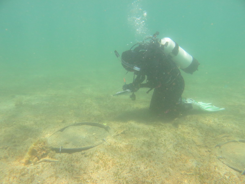
During November 2007 three study sites were established that form the basis of repeated observations of natural temporal variability in habitat patch dynamics. The sites are located on reefs in the Marmion Marine Park with each site approximately 2500 m2 in extent. The sites are comprised of a patchy mosaic of kelp forest, mixed algal canopy, and low foliose algal assemblages. At each site nine circular areas measuring 3m in diametre have been cleared of all algae and changes in percent cover of algae monitored over an 18 month period using photo quadrats (0.25m2). The successional process observed within circular clearances have been used to help understand the causal mechanisms underlying patch formation and maintenance at Marmion Reef.
-
In the planing of the construction of a gas pipeline from Longford in Victoria to Bell Bay in Tasmania by Duke Energy International various environmental approvals were required from the Tasmanian, Victorian and Commonwealth Governments in Australia. CSIRO Marine Research conducted a photographic inspection and took dredge samples of the seafloor at points along the proposed pipeline route to provide input to these environmental assessments.The marine section of the route runs from Seaspray (Vic) through to Five Mile Bluff (Tas). The survey method and results are provided in the form of a 'data report' . see link below.
-
The objective of Project 5.4 was to determine whether recovery of seagrass in the Pilbara following disturbance is by sexual (recruitment from seeds) or asexual (vegetative regrowth from rhizome extension) means, and the relative importance of each, thereby determining the capacity, timeframes and mechanisms of recovery from light and sediment deposition effects. This was achieved through an experiment in which plots cleared of seagrass were enclosed by a barrier or left open, and changes in cover were compared to unmanipulated control (and procedural control) plots. The experiment was done at two sites, a 2-m deep (the 'shallow' site) and a 6-m deep (the 'deep' site). The experiment was intended to run for 6 months, but after 5 months disturbance caused by Tropical Cyclone (TC) Olwyn reduced seagrass cover at both sites, and removed the experimental apparatus at the shallow site. Nevertheless, results yielded by surveys prior to TC Olwyn unambiguously showed strong evidence for recovery through vegetative regrowth (full recovery in cleared plots with no barriers, plus a pattern of increasing cover from the edges of the plots) and no evidence for recovery through recruitment from seeds (no seagrass was ever recorded in any cleared plot with a barrier). The main species of seagrass present was Halophila ovalis, which is widespread throughout northwestern Australia. The transferability of inferences from this study to other places in the Pilbara is hampered by the substantial variation in abundance and species composition from place to place - different species might have different mechanisms of recovery. The nature of the experimental disturbance (complete removal of all seagrass, including roots and rhizomes) is a reasonable facsimile of a severe dredging-induced disturbance, but the spatial extent of the experimental clearances (~0.5 m2) is orders of magnitude smaller than the spatial extents of dredging-induced mortality induced elsewhere: it is plausible that recovery of patches within meadows is more easily achieved through rhizome extension than recovery that encompasses spatial extents of hectares.
-
This record describes data from the Profiling Acoustic and Optical System (pAOS) collected on the Marine National Facility RV Investigator voyage IN2015_E03 Titled: Acoustics and pelagic ecosystems, testing equipment, developing procedures and sample collection, departing Hobart on the 16th April and returning to Hobart on the 23rd April, 2015. Profiling Acoustic and Optical System (pAOS) also known as Profiling Lagrangian Acoustic and Optical System (pLAOS) is a multibeam acoustics platform used for pelagic biomass studies. The system is equipped with several transducer frequencies (38kHz, 120kHz, and 333kHz), a downward looking video camera, and a downward and oblique digital stills. The system is deployed using the coring boom and allowed to free-fall from the surface to the desired depth to collect data.
-
Algal biomass in the Perth region were identified from quadrat surveys , as part of the SRFME research program. The aim of the SRFME Coastal project is to characterize the coastal benthic ecosystems of southwestern WA, with particular focus on benthic reef cosystems, their productivity and dynamics, and the physical, chemical and biological factors driving variability along dominant spatial and temporal scales. To achieve this, we undertook 3-monthly seasonal sampling from 2003 - 2005 at a series of coastal sites situated between Cape Naturaliste in the south and Jurien Bay in the north. Benthic Sampling was integrated with satellite observations of SST, ocean colour and subsurface measurements of other water column properties, as well as sediment biogeochemical sampling. Within this region benthic sampling was nested at Regional (100s km) Local (10s km) and Site (1 km) scales and within each of the regions additional sites were sampled to incorporate site scale variability along cross-shore gradients.
-
Algal biomass in the Rottnest Island region were identified from quadrat surveys , as part of the SRFME research program. The aim of the SRFME Coastal project is to characterize the coastal benthic ecosystems of southwestern WA, with particular focus on benthic reef cosystems, their productivity and dynamics, and the physical, chemical and biological factors driving variability along dominant spatial and temporal scales. To achieve this, we undertook 3-monthly seasonal sampling from 2003 - 2005 at a series of coastal sites situated between Cape Naturaliste in the south and Jurien Bay in the north. Benthic Sampling was integrated with satellite observations of SST, ocean colour and subsurface measurements of other water column properties, as well as sediment biogeochemical sampling. Within this region benthic sampling was nested at Regional (100s km) Local (10s km) and Site (1 km) scales and within each of the regions additional sites were sampled to incorporate site scale variability along cross-shore gradients.
-
Algal biomass in the Jurien Bay region were identified from quadrat surveys as part of the SRFME research program. The aim of the SRFME Coastal project is to characterize the coastal benthic ecosystems of southwestern WA, with particular focus on benthic reef cosystems, their productivity and dynamics, and the physical, chemical and biological factors driving variability along dominant spatial and temporal scales. To achieve this, we undertook 3-monthly seasonal sampling from 2003 - 2005 at a series of coastal sites situated between Cape Naturaliste in the south and Jurien Bay in the north. Benthic Sampling was integrated with satellite observations of SST, ocean colour and subsurface measurements of other water column properties, as well as sediment biogeochemical sampling. Within this region benthic sampling was nested at Regional (100s km) Local (10s km) and Site (1 km) scales and within each of the regions additional sites were sampled to incorporate site scale variability along cross-shore gradients.
-
This data set contains the imagery collected on the Marine National Facility (MNF) RV Investigator voyage IN2024_V02, titled ‘SOTS: Southern Ocean Time Series automated moorings for climate and carbon cycle studies southwest of Tasmania’. The voyage took place between 31/03/2024 and 19/04/2024 (AEST), departing from Hobart and ending in Hobart. Imagery and acoustics were collected as part of a piggy-back project at Patience seamount to contribute data to CSIRO Project OD-227021 Monitoring KNVs in marine parks using acoustic and optical methods ('basketwork eel'). Instrument(s) used to collect this data: MNF Deep Towed camera (DTC) Datasets include: Video (oblique forward view) Stereo stills (oblique forward view) Navigational data
-
This data set contains the imagery collected on the Marine National Facility (MNF) RV Investigator voyage IN2024_V04, titled ‘East Australian Current canyons survey’. The voyage took place between 07/06/2024 and 03/07/2024 (AEST), departing from Sydney and ending in Brisbane, collecting imagery of benthic habitats together with oceanographic data targeting two canyons – Solitary and Richmond canyon – and the adjacent slope. Instrument(s) used to collect this data: MNF Deep Towed camera (DTC) Datasets include: Video (oblique forward view) Stereo stills (oblique forward view) Navigational data